page-header

Argon GEO

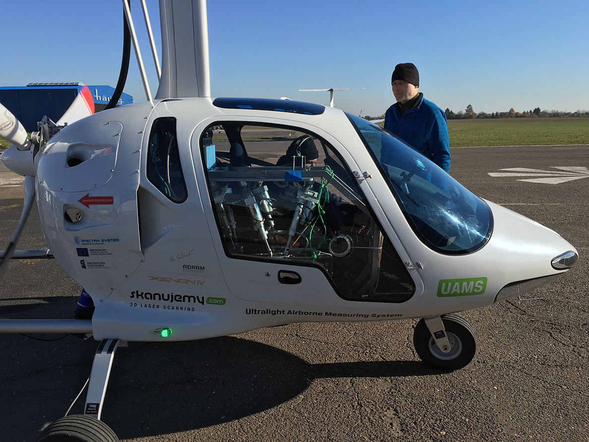
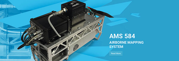
The ARGON GEO is a customised aircraft that supports an Ultralight Measurement System, incorporating aerial laser scanning, adhering to the new 560 kg MTOW regulations.

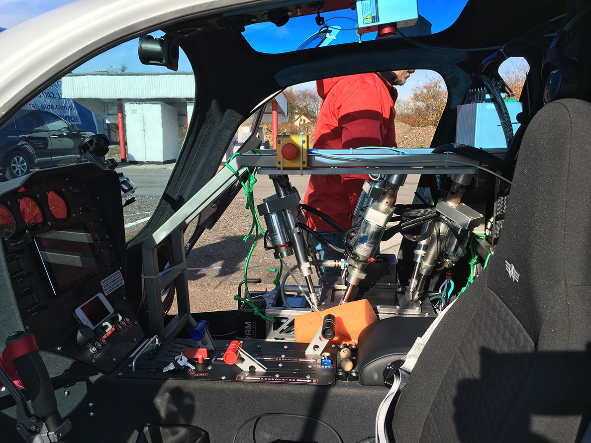
The Aerial Ultralight Measurement System is a high-precision measuring platform that integrates an active laser sensor and a photogrammetric camera with an INS / GNSS system, aided ground segment, mobile reference station and mobile meteorological information system.

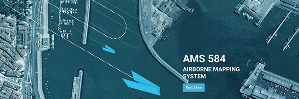
The primary task is to obtain a three-dimensional, dense cloud of points with known X, Y and Z co-ordinates combined with high-resolution colour photographs. The data, after processing, are used primarily for the production of Numerical Terrain and Coverage Models and orthophotomaps.

System Advantages

  • High precision
  • High scanning speed of 200 lines / sec
  • Pulse frequency up to 380 kHz
  • Narrow beam, hence high spatial resolution, of the laser
  • Possibility to register multiple beam ejection – unlimited number of echoes of a single beam
  • Compact and lightweight
  • Fast and accurate measurement of large objects
  • High accuracy (comparable to classic geodetic measurements)
  • The ability to scan hard-to-reach places and in industrial plants by remote sensing
  • Easy access to measurement data
  • Measurement independent of lighting
  • Automation of the computational process (automatic alignment, 3D sections and 3D models).

Air laser scanning – Applications

  • Road construction
  • Inventory and surveying of roads
  • Road gauge measurements
  • Measurements of deformation and displacement of viaducts and bridges
  • Acquisition of 3D models for acoustic mapping
  • Mapping for design purposes and as-built maps
  • Assessment of technical condition of the pavement
  • Inventory of collisions and road accidents
  • Detection and measurement of structural components
  • Detecting and analysing objects related to organisational movement

INDUSTRY

  • Measurements of deformations and displacements
  • Creating faithful 3D models of pipelines, heating systems
  • Object monitoring
  • Inventory of industrial installations and production halls
  • Calculating the volume of earth masses

ARCHITECTURE

  • Precise object mapping
  • Inventory documentation
  • Examination of deformation of buildings
  • Analysis of the structure of buildings
  • 3D models, visualizations
    Orthophosphates

RAILWAYS

  • Measurements of railway tunnels and gauges
  • Collision testing
  • Inventory of railway infrastructure
    Track geometry measurements

MINING

  • Inventory documentation
  • Investigation of deformation of mining infrastructure elements
  • Optimization of transport of waste and logistics

We are ready to consult with you

    Back to top